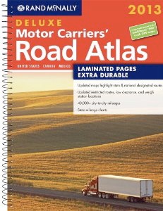
 There are a number of map books on the shelves these days and a popular one is the 208-page 2013 Motor Carriers’ Road Atlas published by Rand McNally.
I like its large (11.6″ x 15.4″) size and up-to-date information on low clearance locations, road construction and condition hotlines. it also features new roads and Interstate exits.
The 2013 edition (glue binding) is available for $17.96 (a 10% savings off the regular $19.95 cost) at RVbookstore.com
 For those who will be doing a lot of traveling, especially if driving through new territory, consider the “Rand McNally 2013 Deluxe Motor Carriers’ Road Atlas” edition.
It has the same information as the standard edition, however, the spiral bound and laminated pages are sturdier and take a beating in inclement weather.
With the laminate pages one can use a dry erase marker for notes. I especially like this feature because I frequently outline alternative routes along secondary roads and can just wipe them off with a tissue if we decided on a different route. The spiral spine allows the book to be opened flat to a particular page without splitting the spine or damaging pages.
You do pay a premium price of the extra toughness–the suggested retail price is $79.95. However, shop around, I’ve also seen it as low as $39.95. Click here to check out what Amazon is asking.


/Trades+$!26+Apprenticeship/Recreation+Vehicle/RV+Owners+Lifestyle+Seminars/Images/RV+Life+Banner.jpg)

